
- Region: Armenia (Tavush and Gegharkunik Provinces)
- Trail Itinerary: Hovk, Mount Dimats, Haghartsin Monastery, Dilijan, Lake Parz, Gosh Village, Lake Gosh, Semyonovka, Lake Sevan
- Total Distance: ~110 km
- Duration: 5 Days / 4 Nights
Our website explicitly states that we only sell self guided trekking tours we have walked ourselves. When the volume of inquiries regarding Dilijan National Park began filling our inbox, someone had to step onto the trail and find the answers firsthand. Every single day, step by step along forest paths and mountain tracks, from our starting point in Hovk village to the shores of beautiful Lake Sevan, a body of water that feels more like a sea hidden among alpine meadows.
As essential gear, I highly recommend carrying a reliable water filter. If you prefer warm lunches, bring a compact stove and cooking pot. Overall, you can tackle this route as a wild camping adventure while barely touching civilization outside of Dilijan, or as a comfortable guesthouse to guesthouse trek.
The starting point, Hovk village, is tucked away four kilometers from the main highway. I strongly advise booking a private transfer directly to the trailhead near the picturesque, tranquil Kari Lake.
What should you pack?
Hiking boots, gear, cash, you can walk this trail both ways, wild camping or staying in guesthouses.
When should you go?
May–Late October (depending on the road and snow conditions that year).
What are the dangers?
Aggressive shepherd dogs, fast change in weather, remoteness at some stages, language barriers, if you feel unsure or it’s your first hiking experience, better to join guided hikes.
Where to stay?
There are guesthouses in Ovk, Deghut, Dilijan, Gosh, Semenovka and Shatili, or it is totally possible to do a wild camping.
What are the highlights?
Dilijan National Park and beech forests, endemic wildlife, the hospitality and food of Tavush communities, high mountain passes, regional history and traditions, ancient monasteries.
How to get to the start?
Most simple way is to take marshrutka from Yerevan to Dilijan or Sevan. Or you can also try to catch marshrutka from Tbilisi, bus station Ortachala. It leaves every day at 12 to Yerevan. Only you need to figure out which road it will go via Dilijan or via Alaverdi.
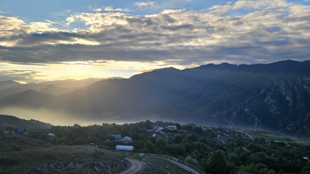
The very first kilometer greeted me with real mountain character. The cold was biting, right around 5°C. I walked with my teeth literally chattering, feeling immensely grateful that I had packed a pair of lightweight gloves that morning. But then the sun finally rolled over the ridges. It was not just a sunrise; it felt like true salvation. Its warmth touched my skin, my spirit lifted instantly, and an internal battery switched on.
Day 1: From Hovk Village Across Alpine Meadows to Mount Dimats
Distance: ~ 24 km
Accumulated elevation gain: ⬆ 1000m; ⬇ 600 m
Terrain: 10 hours Unpaved dirt roads, forest tracks, alpine paths, open ridges
Alternative Route Option: 4×4 off road transfer or descent from the base of Mount Dimats
Water Sources: Mountain springs every 1 to 3 hours (water filter strictly required due to grazing livestock)
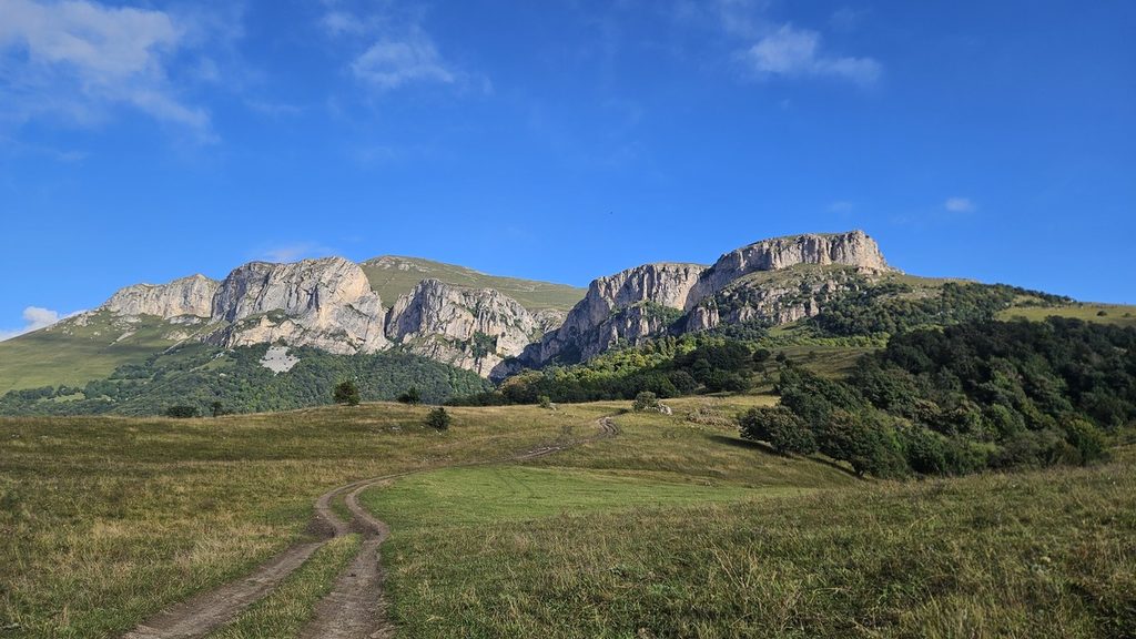
This story begins in the small village of Hovk. On an unusually cold September morning, right around 7:00 AM, I was standing on a quiet rural road. The local cows, already awake and grazing on grass, looked at me with a logical question in their eyes: what is he doing here? Truth be told, I was asking myself the exact same thing. Was I truly ready to push through 24 kilometers across the mountains today? Would I find a bed for the night, and could I reach the finish before dark on an unfamiliar trail?
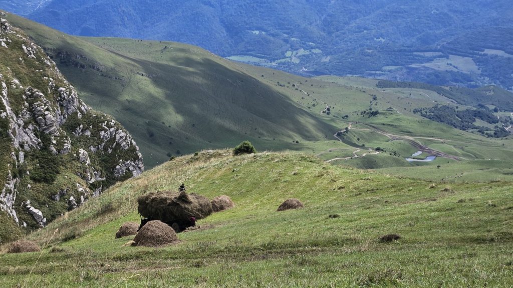
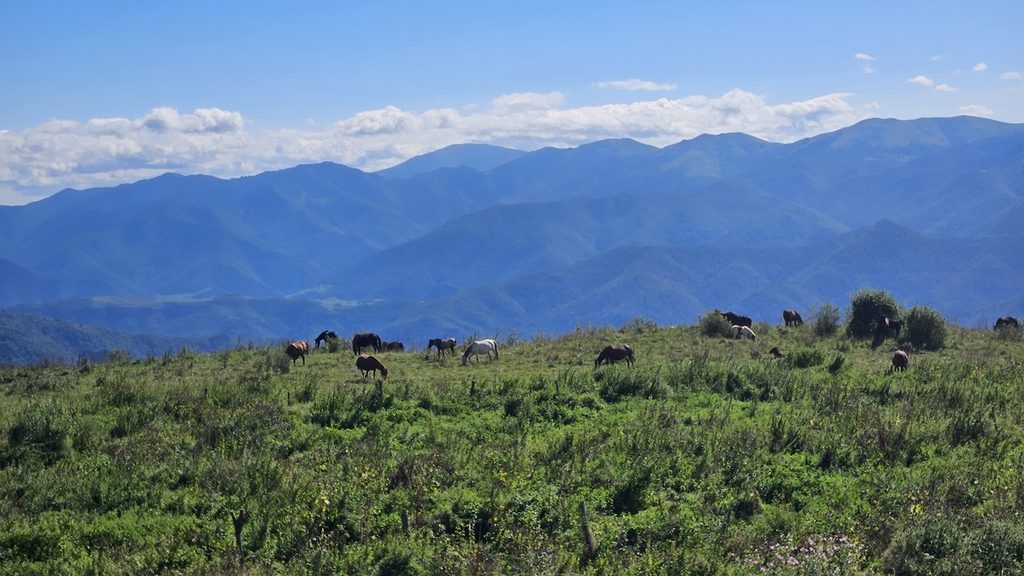
For the next couple of kilometers, I enjoyed a smooth, gradual climb. The absolute magic of this section is that within just one hour, I found myself standing in the middle of vast alpine meadows. For the Caucasus region, this is a rare gift because usually reaching alpine terrain requires a full day of steep, exhausting climbing.
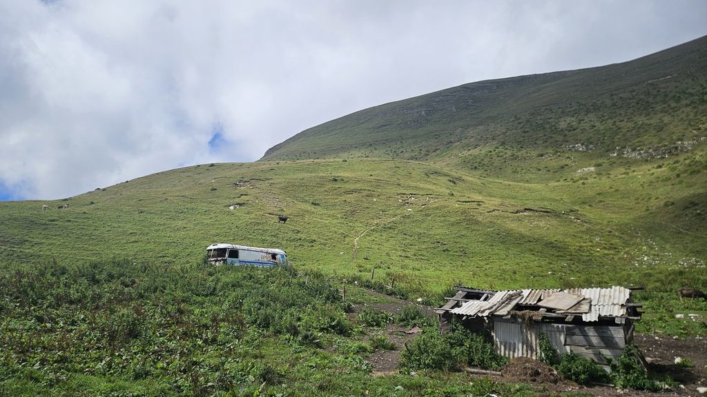
Approaching Mount Dimats, I stumbled upon a completely surreal art installation. Picture this: old, abandoned buses sitting high in the mountains. Pasture herders had hauled them up to this elevation years ago to use as shelter huts. It looked incredibly atmospheric. Meeting the local herd dogs was a pleasant surprise as well: they turned out to be completely calm, keeping a respectful distance of at least twenty meters.
Shortly after passing the dogs, I stopped for lunch. On our commercial self guided tours, each guest receives a freshly prepared packed lunchbox. Carrying out this solo adventure, I cooked my own meal over gas while taking notes on future lunch arrangements that you, dear reader, might enjoy on your trek.
Along the trail to Mount Dimats and further ahead, as on almost the entire route except for the Dilijan to Gosh section, there are no cafes or dining spots. I genuinely love this about the trail: eating lunch surrounded by untouched nature has become a rare luxury nowadays. As for drinking water, you will find springs every hour or three at most. However, many cows and horses graze within the national park. While they add peaceful charm to the landscape, their presence increases the risk of water contamination. I strongly advise carrying a water filter because intestinal infections in unfamiliar regional environments, especially at high altitudes, tend to develop with extraordinary enthusiasm.
Up to Mount Dimats itself, the weather remained absolute perfection. But the moment I passed the summit, heavy, dense clouds rolled in instantly, a swift reminder that these mountains always show their true character. The only humans I met on the trail were a cheerful group of French hikers and a British solo traveler.
Other option:
If you wish, you can continue hiking till the next village Girevi, which is 4 more km.
Day 2: From Haghartsin Monastery Across Mountain Ridges to Cozy Dilijan
Distance: ~18.5 km
Accumulated elevation gain: ⬆ 500m; ⬇ 800 m
Terrain: Waymarked forest trails, mountain stream crossings, paved urban road at the finish
Alternative Route Option: Trail split: high ridge route via TCT vs. lower forest route via Hike Armenia (ANT 30)

After finishing the first intense day at the monastery, I hitched a ride down into the nearby village of Teghut. The evening turned out surprisingly cozy: I discovered a great local jazz cafe, where I spent hours unwinding to live music and recovering my strength.
The next morning, a private transfer brought me back four kilometers right to the gates of Haghartsin Monastery. The early morning atmosphere here is pure magic. At this hour, there are no tour buses or crowds of tourists, so you have the entire complex to yourself. I took my time watching the morning light gradually dissolve the thick fog hanging over the ancient stone walls.
Haghartsin blends surprisingly well into the surrounding beech forest. The light travertine of the main churches, the Church of the Holy Mother of God and the ancient Church of Saint Gregory, almost seems to glow from within in the rays of the rising sun. I made sure to step inside the famous thirteenth century monastic refectory. It is a unique piece of architecture with massive intersecting arches where even a whisper echoes deeply. On the grounds, you can still see the trunk of an ancient oak tree that has stood here since the monastery was first built. For our future clients, an early arrival at Haghartsin will be the ultimate setup, as these quiet morning hours offer a genuine feel for the spirit of the place before setting off along the trail toward Dilijan with fresh energy.
This stage covers roughly 18.5 kilometers and stands out as one of the most beautiful forest walks in Dilijan National Park. Walking through these mossy trails and towering trees immediately reminded me of the lush routes in Georgia, which I covered in detail in our blog post about hiking in Borjomi Kharagauli. Borjomi is admittedly a bit more challenging and physically demanding, but Dilijan offers a very similar tranquil, fairy-tale forest atmosphere. The initial kilometers out of the monastery climb gently through dense woodland. However, the most active section lies ahead: over a 3 kilometer stretch, you must climb nearly 500 vertical meters to reach the trail high point at 2,175 meters. Elevation gain does not intimidate us, but your legs will certainly do some serious work here.
Pay close attention near coordinates 40.805129, 44.838927. The worn path on the ground slightly diverges from the digital GPS track here. Follow the physical trail markers strictly, descending through a small wooded area for about one kilometer toward a modest farm shelter. During summer, a warm local couple lives there, tending to ten cows and two farm dogs. The hosts are genuinely happy to welcome hikers: they helped me refill my water bottles and immediately called off their dogs. The dogs were not aggressive, one was secured on a chain, but it is always best practice to pause and wait for the owners.
Compared to the working Caucasian Shepherd dogs we regularly encounter on our trekking tours in Tusheti, where massive livestock guardian dogs are fiercely protective and require strict safety protocols, these dogs in Armenia are much more relaxed and used to passing hikers. Still, whether you are in Dilijan or deep in the Georgian Caucasus, stopping completely and waiting for the owners to step in is always the safest and smartest move on the trail.
Between kilometers 8 and 10, several small mountain streams cross the trail. They are shallow enough that you can easily step across without removing your boots. Regarding drinking water: reliable springs are located right at Haghartsin Monastery, near the shepherd shelter at kilometer 10, and closer to the trail finish. Just like on day one, nearby grazing pastures mean you should always filter or boil water taken from open sources.
Starting from mid September, shepherd dogs along the trail become noticeably calmer as herders begin moving livestock down to lower valleys. The golden rule when encountering working dogs remains unchanged: never run, avoid sudden movements, and walk past with quiet confidence.
Once you cross the pass, a long, gradual 13 kilometer descent begins. The forest path slowly brings you to the outskirts of Dilijan in the Shamakhyan district. You can walk the remaining distance to the town center through a peaceful children’s park, but for our guest I would advice a jeep transfer, to keep energy needed for the next days.
Ending such an active day in a cozy Dilijan restaurant with a cup of hot tea, or even better, a glass of traditional local pomegranate wine, is a pure pleasure and the ultimate reward for the kilometers completed.
Day 3: From Central Dilijan Past Lake Parz to the Ancient Village of Gosh
Distance: ~16 km
Accumulated elevation gain: ⬆ 500m; ⬇ Gradual descet
Terrain: Well marked forest paths, wide unpaved tracks, open fields
Alternative Route Option: Side trip stop at Lake Parz (lakeside restaurant, ropes course, zipline)
I spent the previous two days staying in the heart of Dilijan, connecting with wonderful local people. If you enjoy hands on crafts, I highly recommend visiting the local museum, where you can try making your own traditional jewelry. I also thoroughly enjoyed sampling dishes across various local restaurants. Evening Dilijan surprised me with its vibrant energy and inviting spots. Walking through these dense green hills, it is easy to see why ancient stories grew around this region. According to local lore, the name Dilijan comes from a heartbreaking tale of a mother searching for her lost son, Dilij. As she wandered through these vast forests, her desperate cries of “Dilij jan” or “dear Dilij” echoed through the valleys, eventually giving this beautiful mountain sanctuary its name. But once the guesthouses were inspected, the local legends explored, and the menus sampled, it was time to move forward.
My morning began right in central Dilijan, opposite the amphitheater by the famous Matinov spring. The total distance for this stage measured roughly 19 kilometers, but despite the distance, the walk felt effortless with all the planned stops. This is easily the most relaxed, peaceful, and cozy day on the entire trek. It is also exceptionally well marked; even if you miss a turn, continuing in the general direction will naturally bring you back to the main path within a kilometer or two.
The trail begins with a climb up a metal staircase leading through the upper town, passing right by the local Dilijan Brewery. As soon as the residential houses fade behind you, a gentle climb through thick forest begins, gaining about 500 meters of elevation. Most of the way is shaded by tall trees, with wide dirt tracks alternating between narrow forest paths and small trickling streams. After rain, a few sections can get muddy, and you might encounter fallen branches or trees struck by lightning, but stepping around them is straightforward.
The greatest highlight of this day is its variety and the opportunity for a proper sit down lunch. Around kilometer 10, the trail forks. Taking a left turn for just half a kilometer brings you directly to famous Lake Parz. Swimming in the lake is prohibited, but it serves as an incredible rest spot: you can sit at the lakeside restaurant and enjoy delicious Armenian cuisine. If you have extra energy, there is an outdoor adventure ropes course and zipline right by the shore.
After resting at the lake and returning to the main trail, the most scenic stretch of the day unfolds. The forest clears, opening up onto sweeping fields. You spend only about 5 kilometers traversing these open meadows, but the views are breathtaking: vast wildflower fields bordered by dramatic cliffs on the opposite side of the gorge.
Next comes a smooth, easy descent toward Gosh village, where the domes of ancient Goshavank Monastery appear in the distance. The trail leads you right up to the monastery walls. Below the church, you will find a fresh drinking water spring, small local shops, and a cozy cafe, a perfect place to reflect on a light and beautiful day.
Day 4: From Gosh Village to Semyonovka via Gosh lake
Distance: ~ 27 km
Accumulated elevation gain: ⬆ 1500 m; ⬇ 300 m
Terrain: Unpaved forestry roads (deep 4×4 tracks), clay sections, open alpine zone
Alternative Route Option: Scenic panoramic alpine trail choice above the treeline
The night before this trek, I stayed at the wonderful Dili Vita guesthouse in Gosh, where we spent a soul warming evening sitting around a campfire, roasting potatoes, and talking about life. The next morning, adding one extra kilometer from the guesthouse, I set off on my solo crossing to Semyonovka. Ahead lay a demanding 27 kilometer leg with roughly 1,500 meters of cumulative elevation gain. Walking this route solo feels completely different: you set your own pace, make every navigation choice independently, and immerse yourself entirely in the surrounding wilderness. From a tour development perspective, this day offered invaluable insights for our future client itineraries.
Leaving Gosh village behind, the path climbs almost immediately toward Lake Gosh. It serves as an ideal spot for your first proper break. Lake Gosh greeted me with absolute silence and clear tree reflections on the water. By late summer, algae forms near the shoreline, so I skipped swimming and enjoyed a quiet picnic instead. During my break, two friendly local dogs joined me and trotted alongside me down the trail for miles. For our future guided groups, scheduling a full one hour stop here with fresh packed lunches is an absolute must.
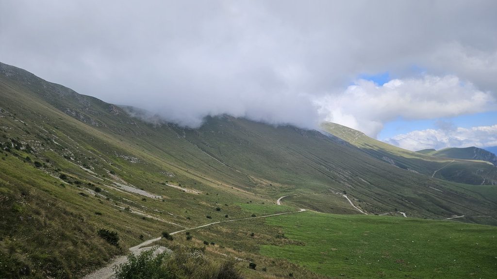
Past the lake, the most physically demanding section of the day begins. The forest road climbs steadily, heavily rutted by 4×4 vehicles and eroded by mountain streams in places. Trekking solo through clay and deep puddles on a sustained uphill push can feel grueling, and spring hikers should be prepared for forest mosquitoes. Navigation here demands sharp focus. Up to the Khachardzan junction, trail markers are clear, but further up the climb, signage almost disappears. One fascinating landmark along the way is an ancient stone wall featuring a clean, rectangular opening that looks like a window carved into stone from a distance.
Nearing the treeline, the thick forest begins to open up. An elderly local farmer lives here, tending to his horses and cattle. He is always genuinely happy to see passing hikers, warmly inviting travelers in for a cup of hot coffee or a shot of Armenian brandy. He mentioned that instead of staying on the forest road all the way to Semyonovka, you can break out onto an open, panoramic alpine ridge. We will definitely adjust our official tour itinerary here to offer this easier, far more scenic alpine variation to our guests.
The long day finishes in the high altitude village of Semyonovka at 2,100 meters. After 27 kilometers and 1,500 meters of climbing, walking into this quiet mountain settlement feels deeply rewarding. It was a tough day. For guests who prefer to avoid such intense physical exertion, keeping an optional 4×4 UAZ support transfer on standby for this leg is essential to keep the journey joyful.
Day 5: Final Descent From Semyonovka to the Shores of Lake Sevan
Distance: ~ 21 km
Accumulated elevation gain: Descent from 2000 m to Lake Sevan shoreline (1900 m)
Terrain: Open grassy ridges, alpine meadows, gentle descent into the coastal town zone
Finish Line Highlights: Sevan Botanical Garden, Sevan Peninsula, Sevanavank Monastery, lakeside cafes
The final leg from Semyonovka down to Lake Sevan stretches roughly 21 kilometers. Morning began with a quiet disaster. On yesterday’s long climb, I had developed a bad blister, and early this morning, I patched it up poorly in the dark. The adhesive rolled into a hard ridge inside my sock, and after two hours of walking, it completely tore the raw skin open. If I had seen the true extent of the damage before setting off, I probably would not have walked a single step. Just like that, my final march back to civilization turned into a true test of grit.
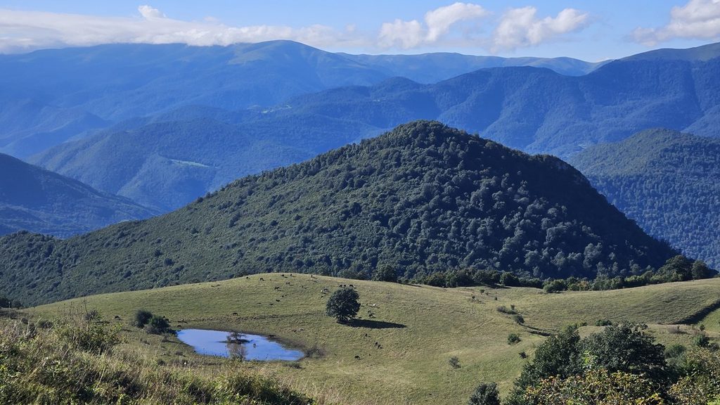
The first half of the route traversed wide alpine meadows at an altitude of two thousand meters. Rolling, treeless ridges stretched in every direction, covered in sun bleached summer grass. Behind me lay the lush green mountain forests of Dilijan; ahead, the massive turquoise mirror of Lake Sevan slowly expanded across the horizon.
The closer I walked to the edge of the ridge, the more breathtaking the vistas became. The lake looked like a vast inland sea framed by the rugged Geghama Mountains. From high above, I could see tiny, toy like figures of people moving along the beaches, white wakes of speedboats, and small fishing boats bobbing on the crystal clear water. Down below, vibrant coastal life was in full swing. Seeing this lively civilization brought an overwhelming feeling of joy and relief, especially since every single step now sent a sharp pain through my foot.
Around noon on an unnamed mountain pass, I encountered a dog. She was heartbreakingly thin, a literal skeleton wrapped in fur. There was no telling how many days or weeks she had been wandering the mountains or when she had last eaten, yet surprisingly, she showed no wounds or signs of illness. Looking into her hungry eyes, I pulled out all my remaining food rations, sat down right there on the trail, and cooked her a hot, full portion of dehydrated borscht, crumbling half a loaf of bread into the broth. Carrying extra weight made no sense anymore, but for her, this meal was a matter of survival. I honestly do not think that dog had seen that many calories in a whole month.
We made the steep descent down to the shore together, hobbling side by side. I was limping and wincing from the burning pain in my raw foot, while the dog could barely swing her legs from sudden overeating and a round, stuffed belly.
Nearing the town outskirts, she scored one more feast: a portion of instant mashed potatoes and smoked rib bones. After that, our shared journey came to a natural end. Some might say I should have adopted her and taken her home, but if I rescued a stray on every single hike, our trekking company would have turned into a mountain dog sanctuary long ago.
I pulled off a clever maneuver on a busy street, slipping quietly between several bustling cafes. I am certain that here, surrounded by tourists and busy restaurant kitchens, she will easily find plenty of food and live a long, well fed life, as long as she looks both ways before crossing the street.
Day 6: Cill at lake Sevan – SUPing, Fresh Fish, and Soviet Architecture
After coming down from the mountains and reaching the shores of Sevan, I completely unplugged from reality for a couple of days and dropped into pure relaxation. Imagine that incredible feeling when, after trekking endless kilometers under a heavy pack, you finally kick off your dusty boots and just rest by the water. I spent my days floating on a SUP board across the cool, crystal clear surface of the lake, surrounded by absolute silence, endless mountain horizons, and a profound sense of total freedom. In the evenings, I feasted on fresh local fish at lakeside cafes, refueling all those calories burned on mountain passes.
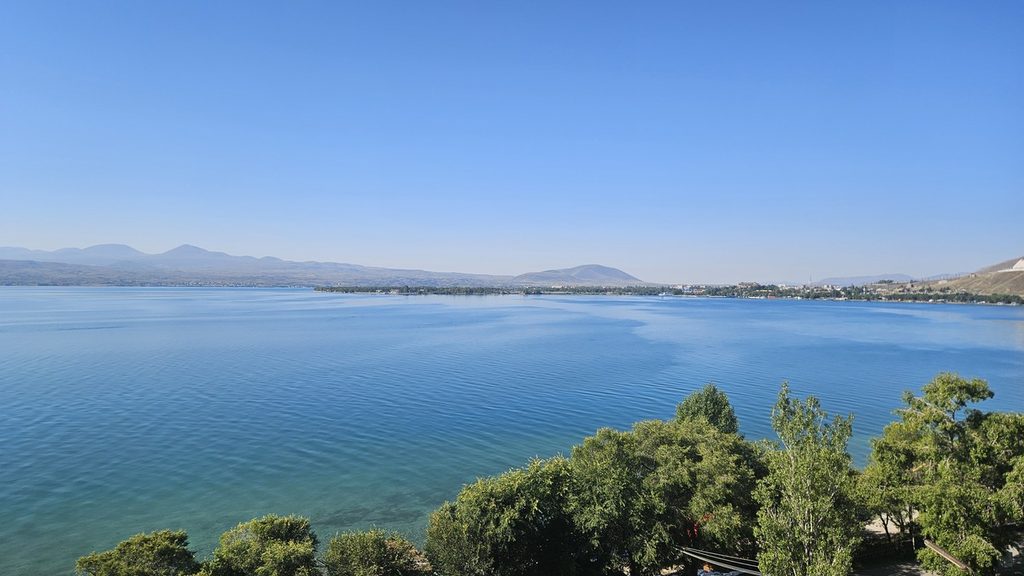
I also explored the famous Writers’ House on the Sevan Peninsula. This entire landmass has a fascinating history: until the mid twentieth century, it was actually a isolated island standing high above the water. It was only after Soviet hydro-engineering projects lowered the water level of Lake Sevan that the hidden land bridge emerged, turning the island into the peninsula we see today. Perched right on its edge, the Writers’ House is a mind blowing place, a futuristic architectural artifact of Soviet Modernism where time seems frozen in the Brezhnev era.
Designed by architects Mark Grigoryan and Gevorg Kochar as a creative retreat for the Writers’ Union, it seamlessly pairs a 1930s residential wing with a iconic cantilevered lounge built in 1969 that literally hangs over the turquoise lake. Sitting there with a panoramic view of the water, surrounded by bold monumental design, you can easily picture literary figures like Osip Mandelstam finding inspiration in this quiet sanctuary.
Recommendations:
- Water is everywhere, in villages, or as streams and springs, so no need to carry a lot, but you should filter or boil it.
- There are Shepherd dogs, be very careful and try to avoid herds as much as possible, and stay closer with your group.
- The most of the trail is marked with yellow signposts and painted flags on rocks and trees, but we still recommend to have downloaded gpx track on your phones. And also extra batteries for it.
- Be prepared that part of the trail, you won’t have phone connection.
- Keep in mind that weather can change fast, have extra dress, food and water. Also feel free to get inspired through our blog for other traveling options and Georgia hikes or just avoid a planning hustle and join our small group adventures.
Recent Articles
-
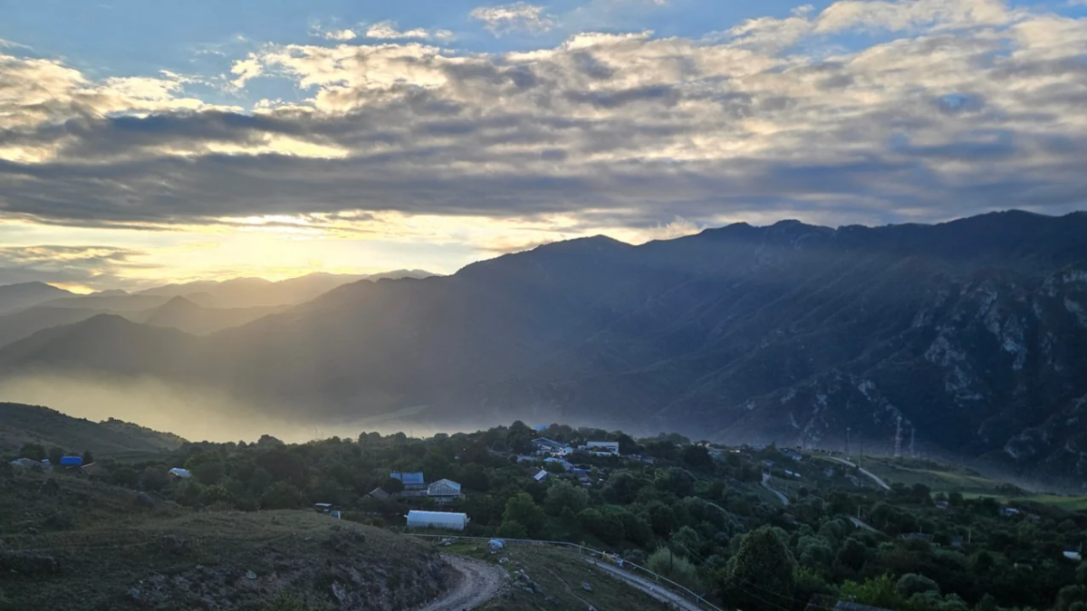
Trekking the Transcaucasian Trail (TCT): From Hovk Village to Lake Sevan Through Dilijan National Park
Everything you need to know about Omalo-Shatili hike, learn what to expect, when to go at one of the most popular trails in Georgia.
-
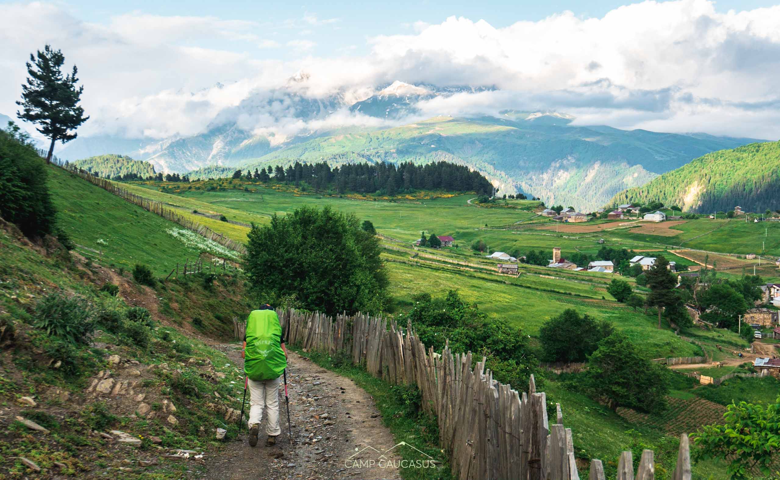
Self-guided Walking Tours – Everything You Need to Know
Self-guided walking tours weren’t a common solution to use for travelers till Covid-19 came into the game. But it wasn’t something new…
-
How to Travel to Mestia from Tbilisi, Kutaisi or Zugdidi in 2026
The detailed guide on how to get to Mestia from Tbilisi, Kutaisi, Zugdidi, or Batumi by Marshrutka, train, or plain. Plan trip to Svaneti!


